
From Pittsburgh headed down 51 South
- Make a left onto 981 North at the second light past the I-70 interchange
- Go 2 miles Into town of Smithton
- Make RIGHT onto 2nd Street towards Jacob’s Creek (go past Old Stoney’s Brewery/Jones Bottling; road follows river)
- Stay on that road 1.7 miles to Post Office Street
- Make Right onto Post Office Street
- Go .4 miles (POINT 4 miles) make a Right (by Church No Road Sign) Towards Banning
- Go 4 more Miles
- Make Right onto Layton Road
- Go down the big hill, Cross Railroad tracks, Hazelbaker’s is on the left.
~OR~
- Stay on Rt 51 all the way through Perryopolis and get on Rt 201 towards Connellsville.
- Stay on Route 201 for about 7 miles then make a left turn onto PA-819, Towards Dawson
- Follow PA-819 and cross over bridge into Dawson. Make a left onto River Rd immediately after the bridge.
- Follow River Road for about 1.7 miles until you come to a 4-way stop sign. Turn left at stop sign onto Banning Rd.
- Follow Banning Road for 3.2 miles until you get to a “Y” in the road, and turn left onto Layton Rd. There is no street sign for Layton Road. (The turn onto Layton road is about 1.5 miles past Linden Hall Road.)
- Follow Layton Rd down winding hill, through village of Layton, across rail road tracks and Hazelbakers on the Left!
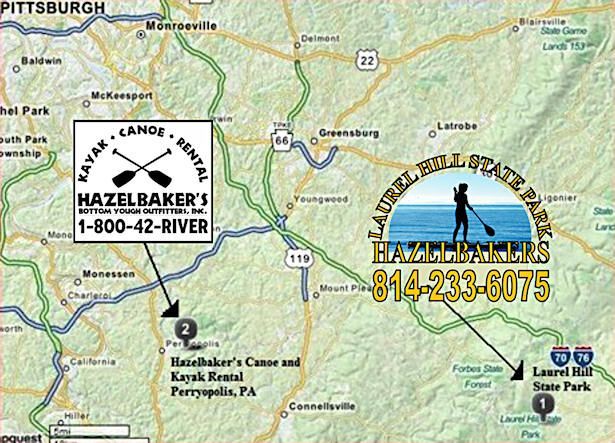
Click the directions link in the map below, or click "View Larger Map" to get directions from Google to Hazelbaker's.
Laurel Hill Park Location
Laurel Hill State Park is located less than 8 miles from 7 Springs. Come out the main entrance of 7 Springs and turn right on County Line Road. Look for the sign on the left. It is also close to Route 31 near Bakersville and Pioneer Park Campground.